Can a Landscape Designer Plan Your Yard Without Visiting? How Aerial Measurement Works
Yes, a landscape designer can plan your yard without an initial site visit. At Davida Landscape Designs, we use design software that combines aerial and satellite measurements with photos you send us to build accurate 2D and 3D plans of your property. That means homeowners in Stamford, Greenwich, Darien, Norwalk, and across Fairfield County can get a design started quickly, without waiting to schedule an in-person meeting first. Here's how remote landscape design works.
How Aerial and Satellite Measurement Works
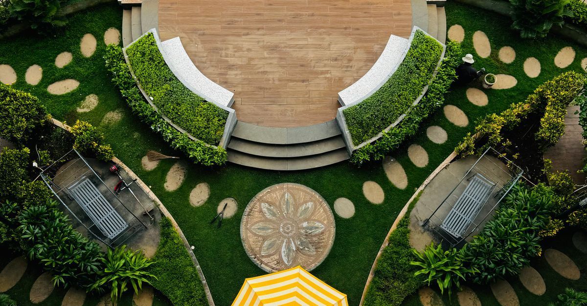
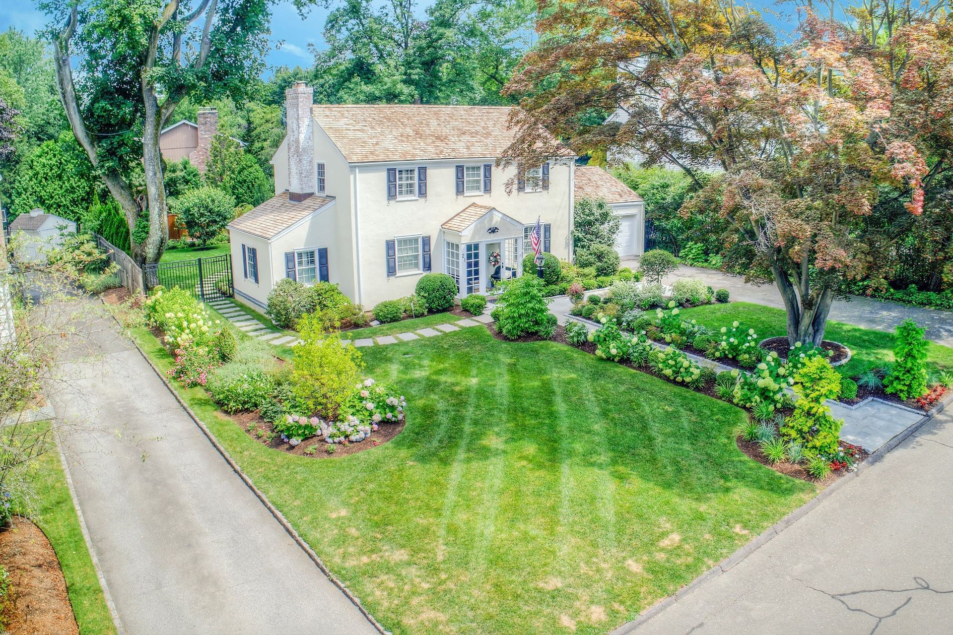
Aerial and satellite imagery shows your property from above, including the footprint of your home, your driveway, existing patios and walkways, lawn areas, and the overall shape of your lot. Our software uses that imagery to measure your property, giving us the layout and dimensions we need to start designing. Instead of pulling out a tape measure on day one, we can begin working on your plan from our office.
What Your Photos Add to the Plan
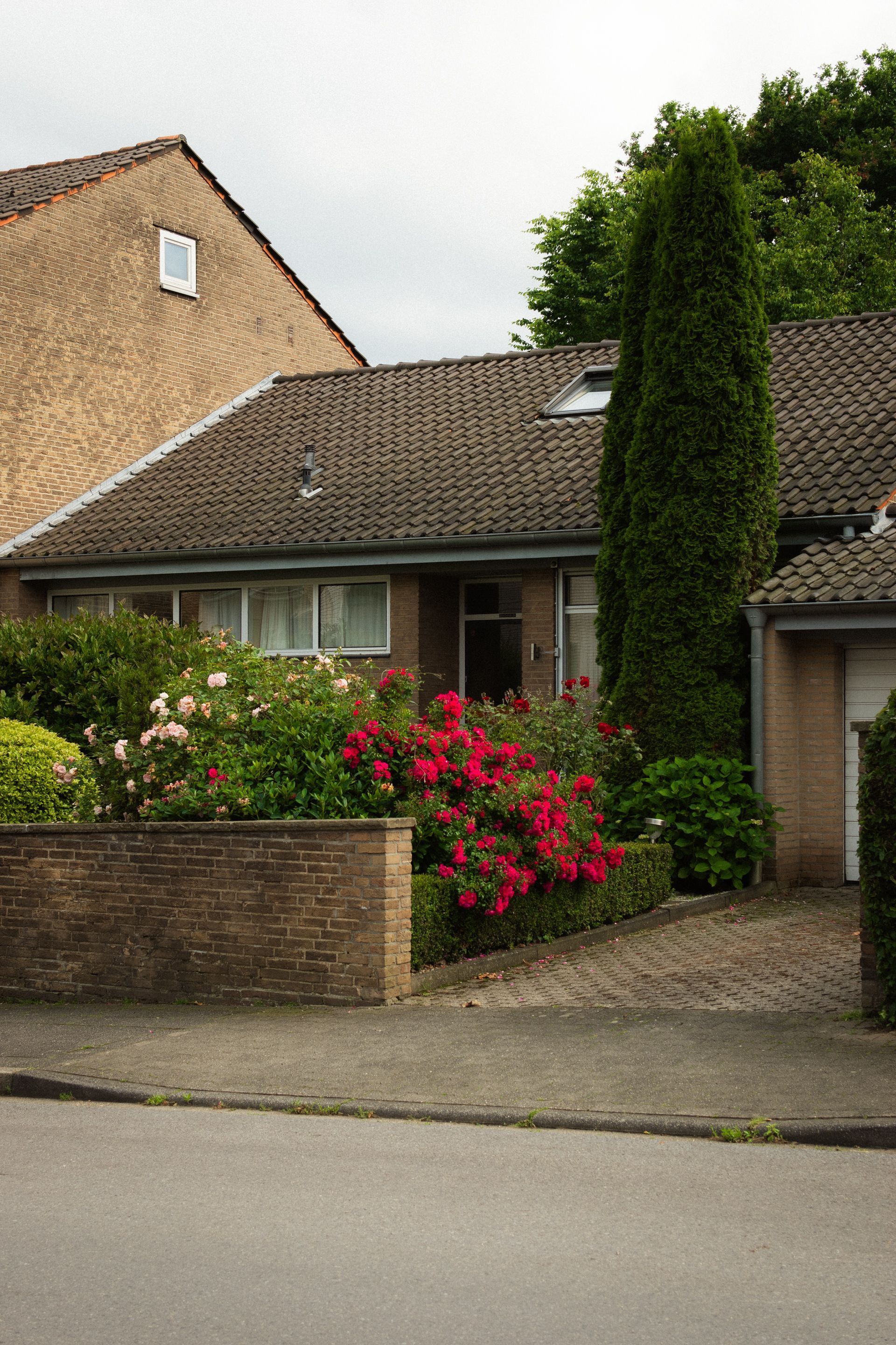
An overhead view can't show everything. Your photos fill in what the satellite can't see: the view from your back door, the look of your existing plantings, the condition of an old walkway, or the slope behind your house. Together, aerial measurements and homeowner photos give us both the big picture and the ground-level detail.
Some site conditions, like drainage patterns and grading, are best confirmed in person. If your project depends on those details, a property walkthrough can still be part of the process before construction begins.
From Measurements to 2D and 3D Plans
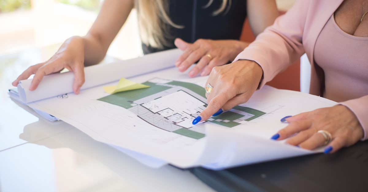
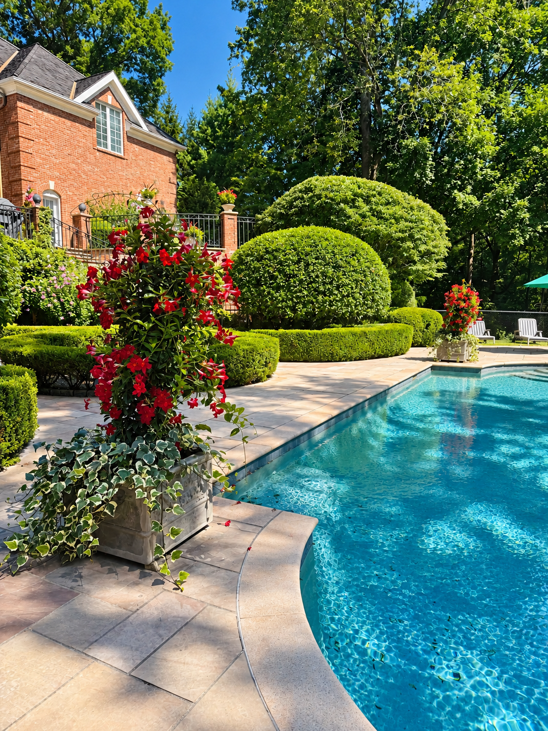
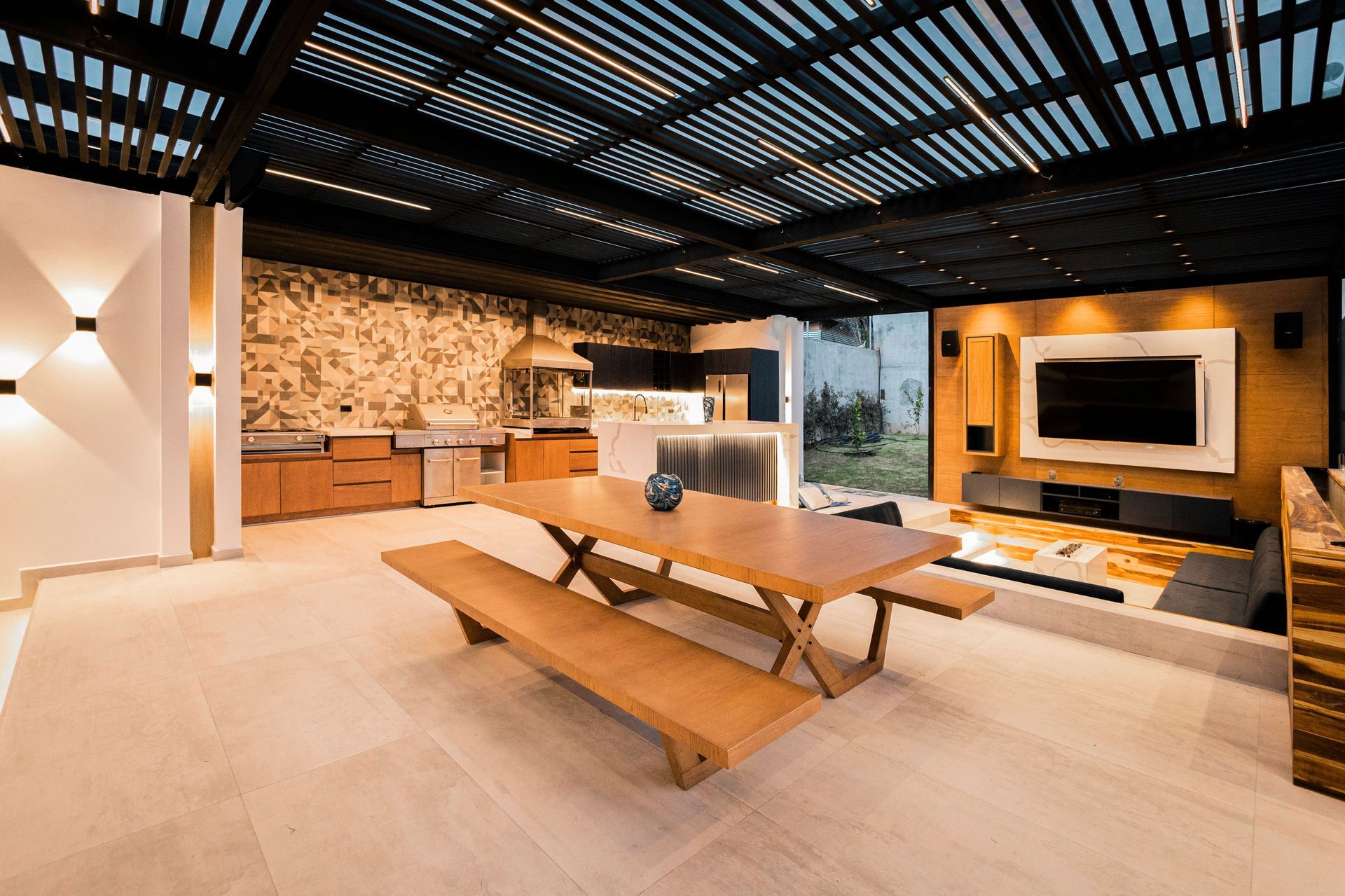
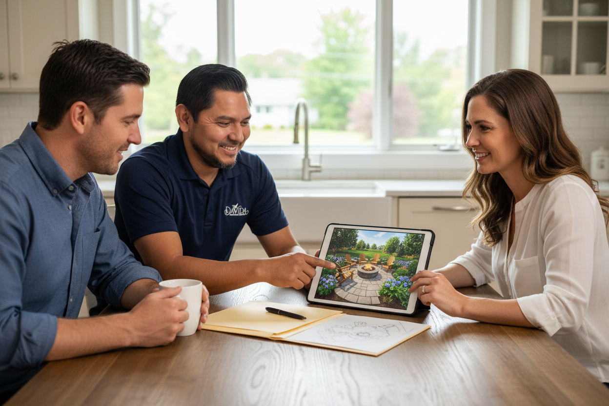
With your property measured and photographed, we build your design in both 2D and 3D. The 2D plan shows the layout from above, with the placement and size of patios, stone walkways, and planting beds. The 3D landscape design lets you see how everything will look in realistic scale, so you can picture the finished yard before anything is built. Because one in-house team handles everything from concept through construction, the plan moves straight into the build if you choose Davida to install it.
Frequently Asked Questions
Can a landscape designer plan my yard without visiting?
Yes, a landscape designer can plan your yard without an initial visit by using aerial and satellite measurements along with photos you provide. At Davida Landscape Designs, our software uses that information to build 2D and 3D plans of your property. This lets your design get started quickly. For projects where grading or drainage matter, an in-person walkthrough can still be added before construction begins.
What can aerial and satellite measurements capture?
Aerial and satellite measurements capture the overall layout of your property from above. That includes the footprint of your home, driveway, existing patios and walkways, lawn areas, and the shape of your lot. These measurements give a designer the dimensions needed to plan where new features will go. Ground-level details, like the look of existing plants or a slope behind the house, come from your photos.
What photos should I send for a remote landscape design?
Helpful photos usually show each area of the yard you want to change, taken from several angles. Include views from inside the house looking out, your existing patios, walkways, and planting beds, and any slopes, problem spots, or features you want to keep. The more clearly your photos show the space, the more accurately your 2D and 3D plans will reflect your property.
What is the difference between a 2D and 3D landscape plan?
A 2D landscape plan is a top-down view that shows the layout, placement, and size of features like patios, walkways, and planting beds. A 3D landscape plan shows the same design in realistic scale from different angles, so you can see how it will actually look. The 2D plan is ideal for measurements and layout, while the 3D view helps you visualize the finished space.
Is remote landscape design faster?
Yes, remote landscape design can get your project started faster because design work doesn’t have to wait for an on-site visit to be scheduled. Using aerial measurements and your photos, we can begin building your 2D and 3D plans right away. It’s especially convenient for busy homeowners who want to see ideas for their yard before committing time to an in-person meeting.
Ready to start your design without the wait? Contact Davida Landscape Designs to get your remote landscape design started, and browse our work to see projects we've completed across Stamford and Fairfield County.